
Postcode(s) 2775 Local time Monday 3:45 AM | Postal code 2775 | |
 | ||
Weather 16°C, Wind SW at 6 km/h, 82% Humidity | ||
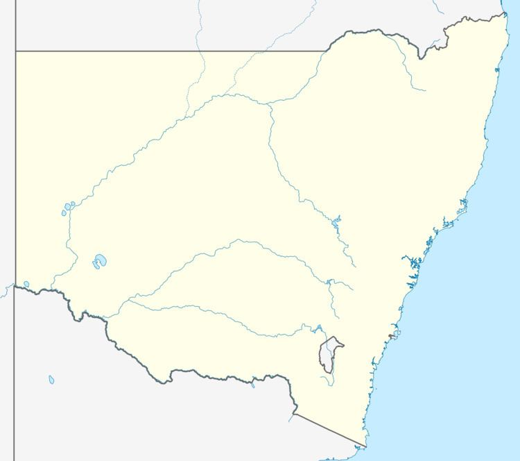
Upper Macdonald is a small village of Sydney, in the state of New South Wales, Australia. It is located in the City of Hawkesbury on the Macdonald River (a tributary of the Hawkesbury River) north of St Albans. The village used to be known as Howick.
Map of Upper MacDonald NSW 2775, Australia
Upper Macdonald was counted as part of St Albans at the 2011 census, which had a population of 305.
References
Upper Macdonald, New South Wales Wikipedia(Text) CC BY-SA