
OS grid reference TL168459 Country England Post town BIGGLESWADE Dialling code 01767 Civil parish Northill | Region East Sovereign state United Kingdom Postcode district SG18 Ceremonial county Bedfordshire UK parliament constituency North East Bedfordshire | |
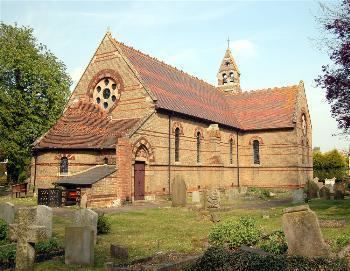 | ||
Upper Caldecote is a village in the Central Bedfordshire district of Bedfordshire, England. It forms part of Northill civil parish. The nearest town is Biggleswade.
Map of Upper Caldecote, Biggleswade, UK
Most of Upper Caldecote is situated directly to the west of the A1 road, with facilities including Caldecote Lower School, a post office, Anglican church, Methodist chapel, antiques shop, garage, GM Growers, cricket club, football pitches and changing rooms, tennis courts, netball court, children's park and two newsagents.
References
Upper Caldecote Wikipedia(Text) CC BY-SA