Time zone CET/CEST (UTC+1/+2) Local time Sunday 3:51 PM | Elevation 265 m (869 ft) Area 56.08 km² Population 6,467 (31 Dec 2008) | |
 | ||
Postal codes 07333, 07334, 07336, 07387 Weather 16°C, Wind N at 11 km/h, 65% Humidity | ||
Unterwellenborn is a municipality in the district Saalfeld-Rudolstadt, in Thuringia, Germany.
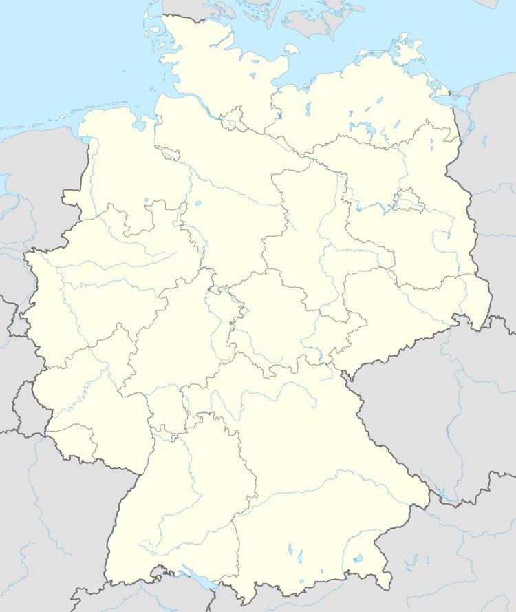
Map of Unterwellenborn, Germany
It was created on 1 February 2006 by fusion of the municipalities Birkigt, Goßwitz, Könitz, Lausnitz bei Pößneck and Unterwellenborn itself which had cooperated earlier as Verwaltungsgemeinschaft Unterwellenborn. Already on 9 April 1994, the municipalities Dorfkulm, Langenschade and Oberwellenborn had become part of the municipality of Unterwellenborn.
References
Unterwellenborn Wikipedia(Text) CC BY-SA
