
Ward 1 Population 2,919 (2006) | Quadrant NW Established 1963 Local time Saturday 8:37 PM | |
 | ||
Weather 5°C, Wind N at 10 km/h, 76% Humidity Restaurants The Keg, Moose McGuire's, Olive Grove Original P, Billingsga Seafood Market, Tim Hortons | ||
2432 uxbridge rd nw university heights calgary masterpiece
University Heights is a residential neighbourhood in the north-west quadrant of Calgary, Alberta. It is located south of the University of Calgary, McMahon Stadium, the Alberta Children's Hospital and Foothills Hospital. It is a relatively small neighbourhood and is bounded to the north by 24 Avenue N, to the east by University Drive, to the south by 16 Avenue N (Trans-Canada Highway) and to the west by Shaganappi Trail.
Contents
- 2432 uxbridge rd nw university heights calgary masterpiece
- Map of University Heights Calgary AB Canada
- Demographics
- Education
- References
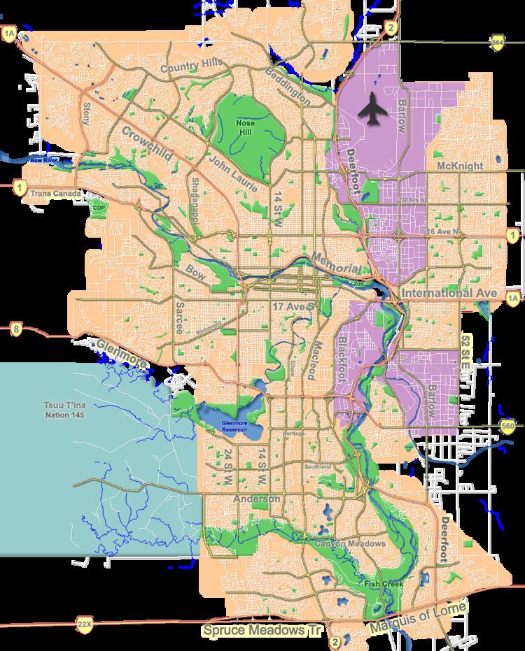
Map of University Heights, Calgary, AB, Canada
Stephen Harper, Canada's current Prime Minister, lived in this neighbourhood while attending school in Calgary.
University Heights was established in 1963. It is represented in the Calgary City Council by the Ward 1 councillor.
Demographics
In the City of Calgary's 2012 municipal census, University Heights had a population of 2,928 living in 1,380 dwellings, a 1.3% increase from its 2011 population of 2,890. With a land area of 0.8 km2 (0.31 sq mi), it had a population density of 3,660/km2 (9,500/sq mi) in 2012.
Residents in this community had a median household income of $43,079 in 2000, and there were 30.3% low income residents living in the neighbourhood. As of 2000, 28% of the residents were immigrants. A proportion of 64.6% of the buildings were condominiums or apartments, and 66.5% of the housing was used for renting.
Education
There are two schools in this neighbourhood: