
Area code 718, 347, 646 Population 25,702 (2011) | State New York ZIP codes 10453, 10468 Area 103 ha Borough The Bronx | |
 | ||
Restaurants Diamante Poblano Restaurant, Number 8 Chinese Restaurant, Taco's El Paisanito Restaurant, Running Cool Restaurant, Mi Reina Restaurant | ||
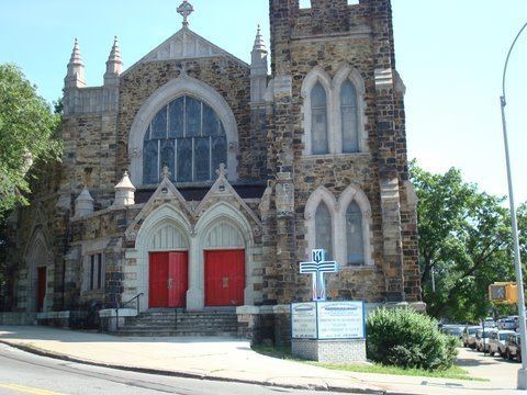
muninyc east 183rd street jerome avenue university heights bronx 10453
University Heights is a neighborhood of the West Bronx in New York City. The neighborhood is part of Bronx Community Board 5 and Bronx Community Board 7. Its boundaries, starting from the north and moving clockwise, are: West 190th Street to the north, Jerome Avenue to the east, West Burnside Avenue to the south and the Harlem River to the west. University Avenue is the primary thoroughfare in University Heights. The local subway is the IRT Jerome Avenue Line, operating along Jerome Avenue. ZIP codes include 10453 and 10468.
Contents
- muninyc east 183rd street jerome avenue university heights bronx 10453
- Map of University Heights Bronx NY USA
- Demographics
- Land use and terrain
- Public housing projects
- History
- Urban renewal
- Public
- Parochial
- Transportation
- References
Map of University Heights, Bronx, NY, USA
Demographics
University Heights has a population of around 25,702. There is a mix of renter-occupied as well as owner-occupied households. The demographics are 23.0% African American, 2.0% White, 3.4% Asian or Pacific Islander and 72.6% Hispanic or Latino, the majority of which are of Dominican and Puerto Rican descent.
Land use and terrain
University Heights consists of 5- and 6-story buildings, older multi-unit homes, newly constructed multi-unit townhouses and apartment buildings, and co-ops. The total land area is roughly one square mile. The terrain is elevated and hilly.
Public housing projects
- Harrison Avenue Rehab (Group A); a 5-story building.
- Harrison Avenue Rehab (Group B); four buildings, 5 and 6 stories tall.
- Macombs Road; two buildings, 5 and 6 stories tall.
- Morris Heights Rehab; three buildings, 5 and 6 stories tall.
- Sedgwick Houses; seven buildings, 14 and 15 stories tall.
- University Avenue Rehab; four 6-story buildings.
- West Tremont Avenue-Sedgwick Avenue Area; a 12-story building.
- West Tremont Rehab (Group 1); two buildings, 5 and 6 stories tall.
- West Tremont Rehab (Group 2); two 6-story buildings.
- West Tremont Rehab (Group 3); a 5-story building.
History
The neighborhood takes its name from the hill on which New York University's Bronx campus was built in 1894. The campus includes the Hall of Fame for Great Americans. In 1973 NYU sold the campus to the City University of New York, which renamed the campus Bronx Community College, but the neighborhood name has remained. With the opening of the IRT Jerome Avenue line in 1917, the neighborhood began a rapid transition from a one-time farm community that had become a place where wealthy people had their mansions and suburban villas, to an urban neighborhood built almost entirely of low-rise apartment buildings housing the prosperous middle classes.
Urban renewal
There are many shops along Fordham Road and in neighboring Marble Hill, which is home to River Plaza, a mall that houses Target, Starbucks, and Marshall's stores.