Country United States GNIS feature ID 1258713 Local time Saturday 6:36 PM | Time zone Central (CST) (UTC-6) Elevation 466 m Area code 605 | |
 | ||
Weather 14°C, Wind S at 18 km/h, 40% Humidity | ||
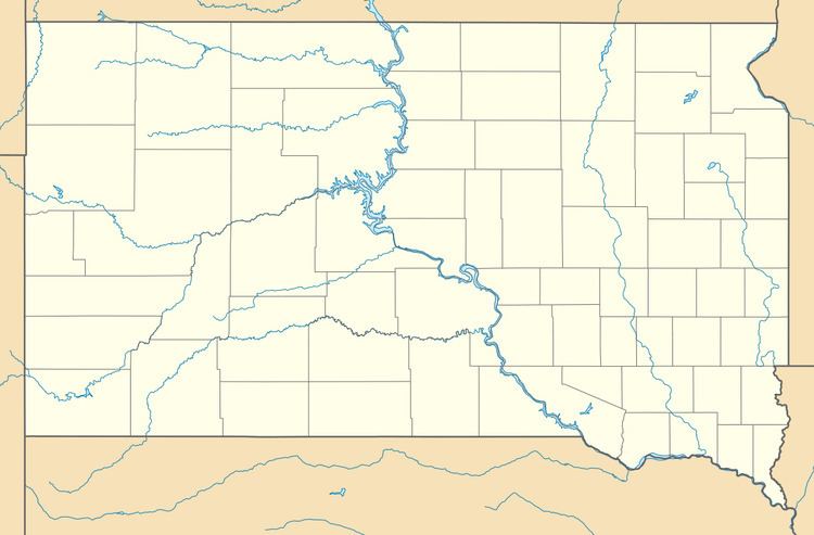
Unityville is an unincorporated community in McCook County, South Dakota, United States. Unityville is 6.2 miles (10.0 km) north-northwest of Salem.
Map of Unityville, SD 57321, USA
Unityville was originally called Stark, and under the latter name was laid out in 1907 by J. F. Stark, and named for him.
References
Unityville, South Dakota Wikipedia(Text) CC BY-SA
