
Country United States FIPS code 19-79680 Elevation 291 m Zip code 52594 Local time Friday 2:54 PM | Time zone Central (CST) (UTC-6) GNIS feature ID 0462475 Area 194 ha Population 101 (2013) Area code 641 | |
 | ||
Weather 6°C, Wind N at 0 km/h, 84% Humidity | ||
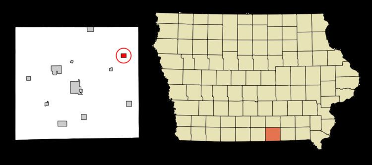
Unionville is a city in Appanoose County, Iowa, United States. The population was 102 at the 2010 census.
Contents
Map of Unionville, IA 52594, USA
History
Unionville was founded in 1849. The city's name most likely commemorates the federal union. Unionville was incorporated as a city in 1922.
Geography
Unionville is located at 40°49′7″N 92°41′40″W (40.818515, -92.694443).
According to the United States Census Bureau, the city has a total area of 0.75 square miles (1.94 km2), all land.
2010 census
As of the census of 2010, there were 102 people, 49 households, and 29 families residing in the city. The population density was 136.0 inhabitants per square mile (52.5/km2). There were 60 housing units at an average density of 80.0 per square mile (30.9/km2). The racial makeup of the city was 100.0% White. Hispanic or Latino of any race were 3.9% of the population.
There were 49 households of which 26.5% had children under the age of 18 living with them, 46.9% were married couples living together, 8.2% had a female householder with no husband present, 4.1% had a male householder with no wife present, and 40.8% were non-families. 36.7% of all households were made up of individuals and 12.3% had someone living alone who was 65 years of age or older. The average household size was 2.08 and the average family size was 2.66.
The median age in the city was 51.8 years. 17.6% of residents were under the age of 18; 7% were between the ages of 18 and 24; 18.6% were from 25 to 44; 40.2% were from 45 to 64; and 16.7% were 65 years of age or older. The gender makeup of the city was 49.0% male and 51.0% female.
2000 census
As of the census of 2000, there were 127 people, 50 households, and 38 families residing in the city. The population density was 170.5 people per square mile (66.3/km²). There were 68 housing units at an average density of 91.3 per square mile (35.5/km²). The racial makeup of the city was 100.00% White.
There were 50 households out of which 38.0% had children under the age of 18 living with them, 64.0% were married couples living together, 8.0% had a female householder with no husband present, and 24.0% were non-families. 24.0% of all households were made up of individuals and 12.0% had someone living alone who was 65 years of age or older. The average household size was 2.54 and the average family size was 3.00.
In the city, the population was spread out with 26.8% under the age of 18, 5.5% from 18 to 24, 24.4% from 25 to 44, 18.9% from 45 to 64, and 24.4% who were 65 years of age or older. The median age was 42 years. For every 100 females there were 89.6 males. For every 100 females age 18 and over, there were 86.0 males.
The median income for a household in the city was $33,333, and the median income for a family was $44,375. Males had a median income of $26,250 versus $19,375 for females. The per capita income for the city was $13,856. There were 9.1% of families and 11.3% of the population living below the poverty line, including 22.2% of under eighteens and none of those over 64.