
GNIS feature ID 453927 Area 30.07 km² Population 504 (2010) | ZIP codes 47001, 47018, 47040 Elevation 190 m Local time Friday 2:07 PM | |
 | ||
Weather 13°C, Wind W at 21 km/h, 79% Humidity | ||
Union Township is one of four townships in Ohio County, Indiana, United States. As of the 2010 census, its population was 504 and it contained 219 housing units.
Contents
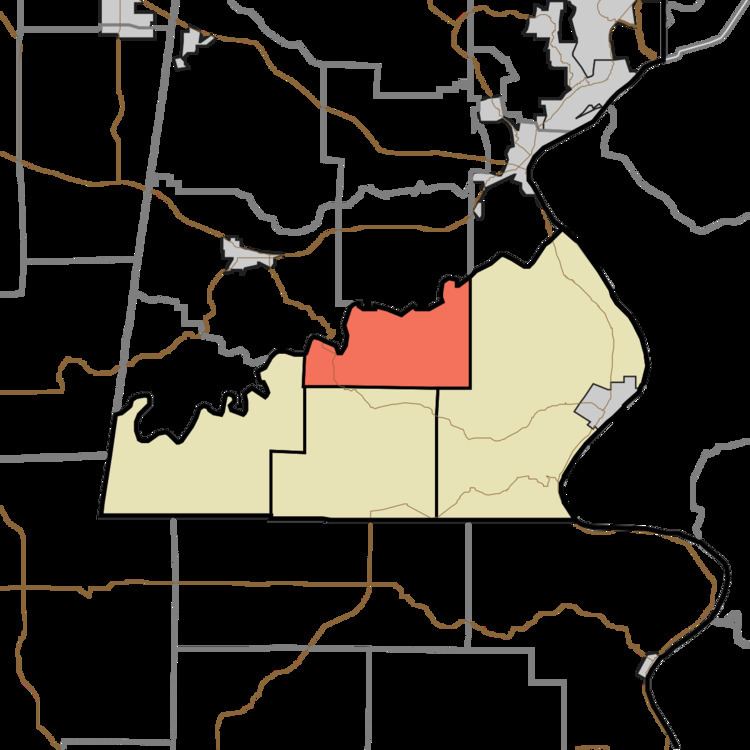
- Map of Union Township IN USA
- Geography
- Unincorporated towns
- School districts
- Political districts
- References
Map of Union Township, IN, USA
Geography
According to the 2010 census, the township has a total area of 11.61 square miles (30.1 km2), of which 11.52 square miles (29.8 km2) (or 99.22%) is land and 0.09 square miles (0.23 km2) (or 0.78%) is water. Union is the smallest township by area in the state.
Unincorporated towns
(This list is based on USGS data and may include former settlements.)
School districts
Political districts
References
Union Township, Ohio County, Indiana Wikipedia(Text) CC BY-SA