
Country United States GNIS feature ID 453914 Area 93.03 km² Population 6,134 (2010) | FIPS code 18-77264 Elevation 263 m Local time Friday 2:00 PM | |
 | ||
Weather 5°C, Wind N at 19 km/h, 90% Humidity | ||
Union Township is one of sixteen townships in Elkhart County, Indiana. As of the 2010 census, its population was 6,134.
Contents
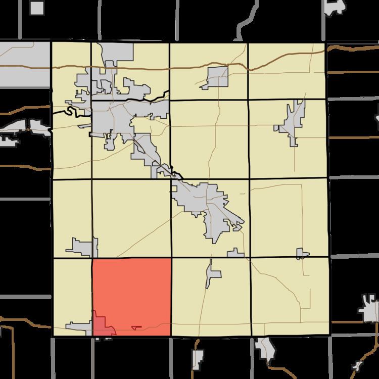
- Map of Union Township IN USA
- History
- Geography
- Cities and towns
- Unincorporated towns
- Adjacent townships
- Major highways
- Cemeteries
- References
Map of Union Township, IN, USA
History
Union Township was organized in 1837.
Geography
According to the 2010 census, the township has a total area of 35.92 square miles (93.0 km2), all land.
Cities and towns
Unincorporated towns
(This list is based on USGS data and may include former settlements.)
Adjacent townships
Major highways
Cemeteries
The township contains one cemetery, Bull.
References
Union Township, Elkhart County, Indiana Wikipedia(Text) CC BY-SA