
Country United States GNIS feature ID 0766326 Area 147.6 km² Population 1,058 (2010) | FIPS code 29-74518 Elevation 217 m Local time Friday 12:56 PM | |
 | ||
Weather 11°C, Wind NW at 14 km/h, 74% Humidity | ||
Union Township is one of eight townships in Bollinger County, Missouri, USA. As of the 2000 U.S. Census, its population was 1,035. As of the 2010 U.S. Census, the population had increased to 1,058. Union Township covers an area of 56.99 square miles (147.6 km2).
Contents
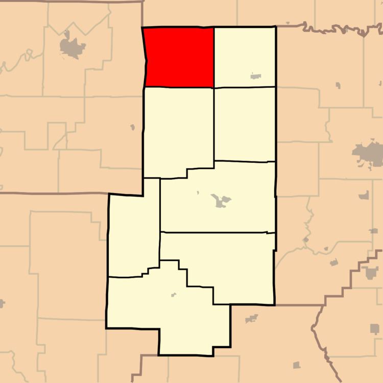
- Map of Union Township MO USA
- Demographics
- Incorporated Areas
- Unincorporated Areas
- Cemeteries
- Streams
- Landmarks
- School Districts
- Political Districts
- References
Map of Union Township, MO, USA
Union Township was established in 1848.
Demographics
As of the 2010 U.S. Census, there were 1,058 people residing in the township. The population density was 24.28 people per square mile (39.07/km²). There were 497 housing units in the township. The racial makeup of the township was 96.03% White, 1.70% Black or African American, 0.57% Native American, 0.19% Asian, 0.19% from other races, and 1.32% from two or more races. Approximately 0.28% of the population were Hispanic or Latino of any race.
Incorporated Areas
The township contains no incorporated settlements.
Unincorporated Areas
The township contains the unincorporated areas and historical communities of Alliance, Hurricane, North Patton, Patton, and Patton Junction.
Cemeteries
The township contains two cemeteries: Johnson and Pleasant Hill.
Streams
The streams of Baltimore Creek, Blue Creek, Buck Creek, Cape Creek, Conrad Creek, Goose Creek, Grounds Creek, Little Whitewater Creek, and Stannett Creek flow through Union Township. Other bodies of water located in the township include the Whitewater River, Destitute Acres Lake, Fulton Lake, and Grindstaff Lake.