
Country United States County Barton Elevation 289 m Local time Friday 12:55 PM | GNIS feature ID 0766288 Area 93.7 km² Population 347 (2000) | |
 | ||
Weather 10°C, Wind NW at 6 km/h, 82% Humidity | ||
Union Township is one of fifteen townships in Barton County, Missouri, USA. As of the 2000 census, its population was 347.
Contents
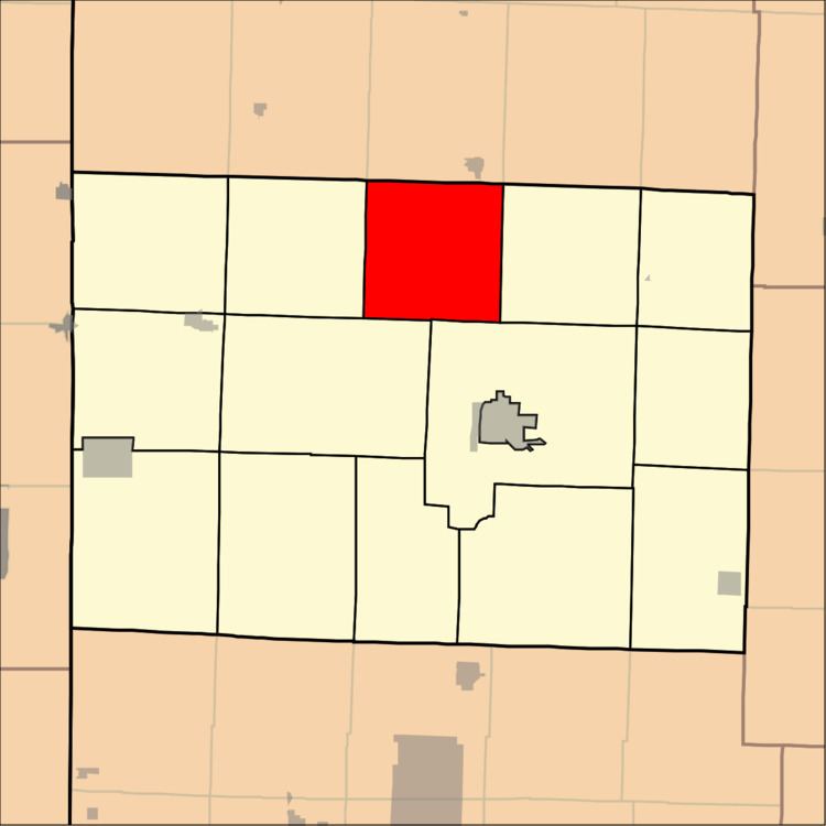
Map of Union Township, MO, USA
Union Township was formed by means of merger, or "union" of existing townships, hence the name.
Geography
Union Township covers an area of 36.18 square miles (93.7 km2) and contains no incorporated settlements. According to the USGS, it contains one cemetery, Bakers Grove.
The streams of Bucks Run Creek, Little Creek and Moores Branch run through this township.
References
Union Township, Barton County, Missouri Wikipedia(Text) CC BY-SA