
Country United States FIPS code 55-81775 Elevation 236 m Population 4,884 (2013) Area code 262 | Time zone Central (CST) (UTC-6) GNIS feature ID 1575902 Area 6.4 km² Local time Friday 11:49 AM University Shepherds College | |
 | ||
Weather 3°C, Wind N at 27 km/h, 90% Humidity | ||
Union Grove is a village in Racine County, Wisconsin, United States. The population was 4,322 at the 2000 census and 4,915 at the 2010 census.
Contents
- Map of Union Grove WI 53182 USA
- History
- Geography
- 2010 census
- 2000 census
- Education
- Public Safety
- Transportation
- Notable people
- References
Map of Union Grove, WI 53182, USA
History
Governor Henry Dodge named the area that became Union Grove, combining the word “Union” with “Grove” because of the gorgeous grove of burr oak trees on the west side of the land.
Geography
Union Grove is located at 42°41′7″N 88°2′58″W (42.685287, -88.049390).
According to the United States Census Bureau, the village has a total area of 2.47 square miles (6.40 km2), all of it land.
2010 census
As of the census of 2010, there were 4,915 people, 1,881 households, and 1,269 families residing in the village. The population density was 1,989.9 inhabitants per square mile (768.3/km2). There were 1,960 housing units at an average density of 793.5 per square mile (306.4/km2). The racial makeup of the village was 96.6% White, 0.5% African American, 0.3% Native American, 0.6% Asian, 0.5% from other races, and 1.5% from two or more races. Hispanic or Latino of any race were 3.2% of the population.
There were 1,881 households of which 37.7% had children under the age of 18 living with them, 48.5% were married couples living together, 13.4% had a female householder with no husband present, 5.6% had a male householder with no wife present, and 32.5% were non-families. 27.3% of all households were made up of individuals and 9.7% had someone living alone who was 65 years of age or older. The average household size was 2.51 and the average family size was 3.06.
The median age in the village was 37.4 years. 26.2% of residents were under the age of 18; 8.2% were between the ages of 18 and 24; 26.3% were from 25 to 44; 27.3% were from 45 to 64; and 12% were 65 years of age or older. The gender makeup of the village was 48.5% male and 51.5% female.
2000 census
At the 2000 census, there were 4,322 people, 1,631 households and 1,143 families residing in the village. The population density was 2,525.0 per square mile (975.9/km²). There were 1,677 housing units at an average density of 979.7 per square mile (378.7/km²). The racial makeup of the village was 97.20% White, 0.28% African American, 0.21% Native American, 0.72% Asian, 0.42% from other races, and 1.18% from two or more races. Hispanic or Latino of any race were 2.36% of the population.
There were 1,631 households of which 38.1% had children under the age of 18 living with them, 53.0% were married couples living together, 12.6% had a female householder with no husband present, and 29.9% were non-families. 23.7% of all households were made up of individuals and 8.9% had someone living alone who was 65 years of age or older. The average household size was 2.60 and the average family size was 3.10.
28.6% of the population were under the age of 18, 8.9% from 18 to 24, 32.2% from 25 to 44, 18.6% from 45 to 64, and 11.8% who were 65 years of age or older. The median age was 34 years. For every 100 females there were 90.9 males. For every 100 females age 18 and over, there were 87.6 males.
The median household income was $50,636 and the median family income was $57,453. Males had a median income of $38,239 versus $25,263 for females. The per capita income was $20,445. About 4.6% of families and 5.4% of the population were below the poverty line, including 6.5% of those under age 18 and 8.7% of those age 65 or over.
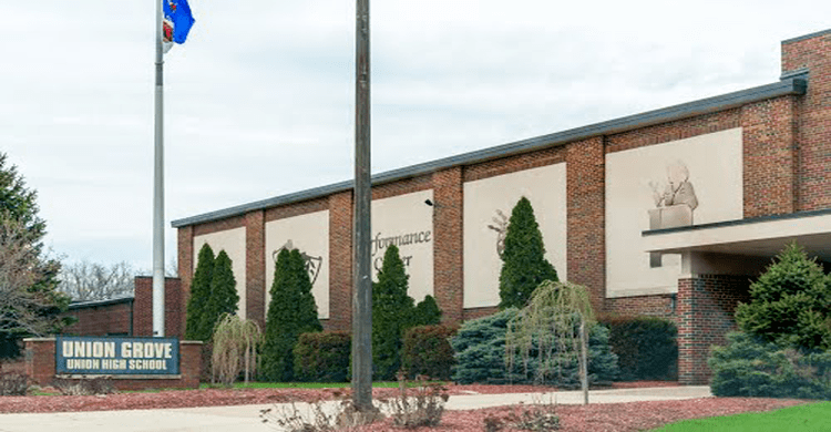
Education
Public Safety
Transportation
Union Grove was a stop on the Racine & Southwestern branch line of the Chicago, Milwaukee, St. Paul and Pacific Railroad, better known as the Milwaukee Road. In its 1980 bankruptcy, the Milwaukee Road disposed of the Southwestern Line. Today the line from Sturtevant through Union Grove to Kansasville is operated by CP Rail.