
Country Nigeria 3-digit postal code prefix 700 Local time Friday 2:36 PM | Time zone WAT (UTC+1) Area 204 km² ISO 3166 code Kano State | |
 | ||
Weather 40°C, Wind NE at 11 km/h, 7% Humidity | ||
Ungogo is a Local Government Area in Kano State, Nigeria. Its headquarters are in the locality of Ungogo to the north of the city of Kano.
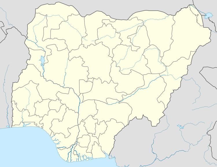
Map of Ungogo, Nigeria
It has an area of 204 km² and a population of 369,657 at the 2006 census.
The postal code of the area is 700.
References
Ungogo Wikipedia(Text) CC BY-SA