
Postcode(s) 4285 Undullah JimboombaKagaru | State electorate(s) Lockyer Postal code 4285 | |
 | ||
Undullah is a locality split between the City of Logan and the Scenic Rim Region, Queensland, Australia.
Contents
Map of Undullah QLD 4285, Australia
Geography
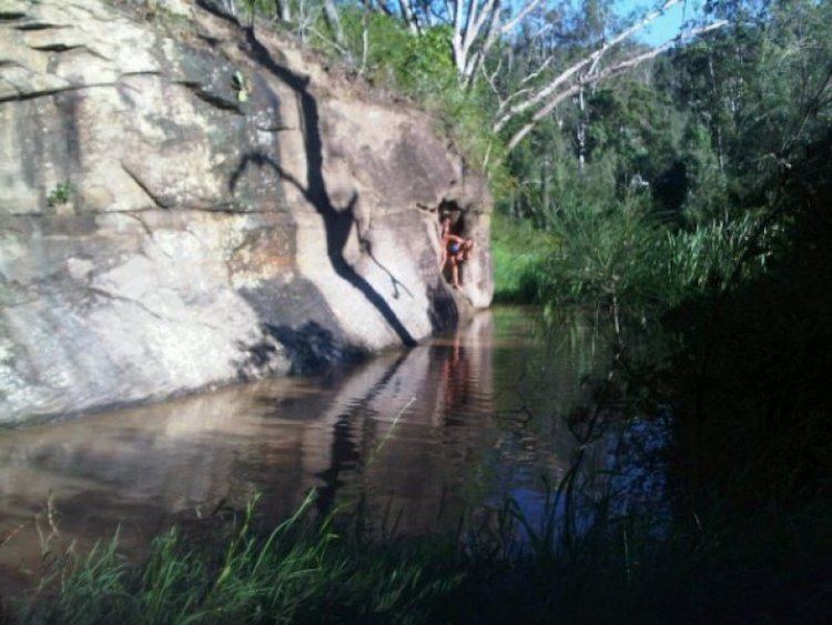
Undullah is dominated by the Teviot Range which rises towards its western boundary. Within Undullah are Mount Joyce, Mount Elliot, Mount Flintoff, Rocky Knob and Mount Wilbraham. Very little of the area is developed with most of the rangelands covered by bush. Woollaman Creek, a tributary of Teviot Brook, is the major waterway in the suburb.
History
The Undullah is believed to be the word nandulla from the Bundjalung and/or Yuggera languages meaning the silver leafed iron bark (eucalyptus melanophloia).
Henry Herbert Elliott was an early settler who raised cattle.
Formerly in the Shire of Beaudesert, Undullah was split between Logan City and Scenic Rim Region following the local government amalgamations in March 2008.