
Country United States FIPS code 38-80660 Elevation 616 m Zip code 58576 Local time Friday 7:00 AM | Time zone Central (CST) (UTC-6) GNIS feature ID 1032588 Area 236 ha Population 775 (2013) Area code 701 | |
 | ||
Weather 4°C, Wind S at 10 km/h, 84% Humidity | ||
Underwood is a city in McLean County, North Dakota, United States. The population was 778 at the 2010 census. Underwood was founded along a Soo Line Railroad line between Bismarck and Max in 1903 and named after Fred D. Underwood, vice president of the railroad at the time.
Contents
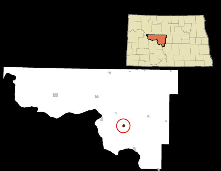
Map of Underwood, ND 58576, USA
Geography
Underwood is located at 47°27′22″N 101°8′23″W (47.456080, -101.139601).
According to the United States Census Bureau, the city has a total area of 0.91 square miles (2.36 km2), all of it land.
2010 census
As of the census of 2010, there were 778 people, 326 households, and 211 families residing in the city. The population density was 854.9 inhabitants per square mile (330.1/km2). There were 377 housing units at an average density of 414.3 per square mile (160.0/km2). The racial makeup of the city was 95.5% White, 0.3% African American, 1.8% Native American, 0.3% Pacific Islander, 0.1% from other races, and 2.1% from two or more races. Hispanic or Latino of any race were 0.6% of the population.
There were 326 households of which 22.4% had children under the age of 18 living with them, 57.1% were married couples living together, 4.6% had a female householder with no husband present, 3.1% had a male householder with no wife present, and 35.3% were non-families. 30.7% of all households were made up of individuals and 12% had someone living alone who was 65 years of age or older. The average household size was 2.22 and the average family size was 2.77.
The median age in the city was 49.8 years. 18.8% of residents were under the age of 18; 3.5% were between the ages of 18 and 24; 23% were from 25 to 44; 32.9% were from 45 to 64; and 21.7% were 65 years of age or older. The gender makeup of the city was 48.5% male and 51.5% female.
2000 census
As of the census of 2000, there were 812 people, 323 households, and 229 families residing in the city. The population density was 910.8 people per square mile (352.3/km²). There were 381 housing units at an average density of 427.3 per square mile (165.3/km²). The racial makeup of the city was 96.80% White, 1.11% Native American, and 2.09% from two or more races. Hispanic or Latino of any race were 0.25% of the population.
There were 323 households out of which 27.2% had children under the age of 18 living with them, 61.9% were married couples living together, 7.4% had a female householder with no husband present, and 28.8% were non-families. 27.6% of all households were made up of individuals and 14.6% had someone living alone who was 65 years of age or older. The average household size was 2.35 and the average family size was 2.85.
In the city, the population was spread out with 20.9% under the age of 18, 6.0% from 18 to 24, 20.7% from 25 to 44, 29.6% from 45 to 64, and 22.8% who were 65 years of age or older. The median age was 46 years. For every 100 females there were 91.5 males. For every 100 females age 18 and over, there were 89.4 males.
The median income for a household in the city was $35,250, and the median income for a family was $47,578. Males had a median income of $39,375 versus $18,611 for females. The per capita income for the city was $17,916. About 7.1% of families and 11.7% of the population were below the poverty line, including 19.8% of those under age 18 and 14.4% of those age 65 or over.
Climate
This climatic region is typified by large seasonal temperature differences, with warm to hot (and often humid) summers and cold (sometimes severely cold) winters. According to the Köppen Climate Classification system, Underwood has a humid continental climate, abbreviated "Dfb" on climate maps.
Education
Underwood Public School serves the community.