
Microregion Ilhéus-Itabuna Elevation 40 m Population 24,650 (2009) | Mesoregion Sul Baiano Time zone UTC-3 (UTC-3) Area 1,160 km² | |
 | ||
Una is a city in Bahia, Brazil. Its population in 2008 was 25,287 inhabitants. It is located about 36 mi (58 km) south from Ilheus.
Contents
Map of Una - State of Bahia, Brazil
The municipality was founded on August 2, 1890. The GDP per capita is R$ 2,649 (IBGE / 2005). Una-Comandatuba Airport serves both the city of Una and Transamérica Resort, located at nearby Comandatuba Island.
Environment
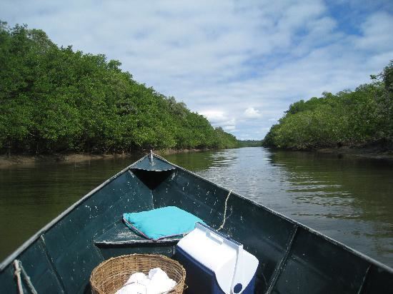
The climate is hot and humid, with annual rainfall over 1,800 millimetres (71 in). The temperature varies from 19 to 28 °C (66 to 82 °F), with an average of 24 °C (75 °F). The municipality contains the 18,715 hectares (46,250 acres) Una Biological Reserve, a strictly protected conservation unit created in 1980. It contains most of the 23,262 hectares (57,480 acres) Una Wildlife Refuge, which surrounds the biological reserve. It also contains part of the 11,336 hectares (28,010 acres) Serra das Lontras National Park, created in 2010. The municipality contains part of the 100,646 hectares (248,700 acres) Canavieiras Extractive Reserve, created in 2006.