
Country Brazil Time zone BRT (UTC-3) Area 118.9 km² Local time Friday 12:29 AM | Demonym(s) Umbaubense Website umbauba.se.gov.br Population 24,832 (2016) | |
 | ||
Weather 26°C, Wind SE at 8 km/h, 87% Humidity | ||
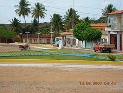
Umbaúba is a municipality located in the Brazilian state of Sergipe. Its population was 24,832 (2016). Umbaúba covers 118.86 km2 (45.89 sq mi) and has a population density of 210 inhabitants per square kilometer. The municipality is located 95 km (59 mi) from the state capital of Sergipe, Aracaju.
Map of Umba%C3%BAba - State of Sergipe, Brazil
References
Umbaúba Wikipedia(Text) CC BY-SA