
Length 450 km | ||
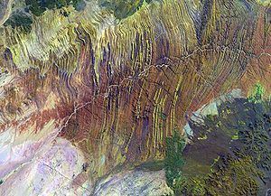 | ||
The Ugab River is an ephemeral river that only flows above the surface of its sandy bed a few days each year, but even during much of the dry season its subterranean water surfaces as pools in places, and provides an important resource for species in the Damaraland region of northern Namibia. The Ugab's mean run-off is roughly 20 million cubic metres per annum.
Map of Ugab, Namibia
The Ugab River's large subterranean water content makes it a major Namibian River. Stretching for almost 500 km, the river provides water for species such as the rare desert elephant, as well as giraffe, mountain zebra and the largest population of free-roaming black rhinoceroses in the world. The Ugab Wilderness Area was established here to protect the future of these rare animals.
People can trek the length of the sandy river, passing local Herero farmers and the pink granite inselbergs (isolated rocky hills left behind after volcanic activity) dotted throughout the region. These bizarre stones have been shaped over the years into vaguely recognisable shapes, some look like toadstools, while others are eerie hollow structures known as the 'Petrified Ghosts'.
Quite a few plants grow there; much of the visible vegetation is the exotic wild tobacco (Nicotiana glauca). Also found there indigenously are some stunted acacia trees and nara bushes (Acanthosicyos horridus), with their almost-leafless spiky green stems, and improbably large melons.