
River mouth Belaya River Discharge 388 m³/s Mouth Belaya River | Length 918 km Basin area 53,100 km² Country Russia | |
 | ||
Basin size 53,100 km (20,500 sq mi) | ||
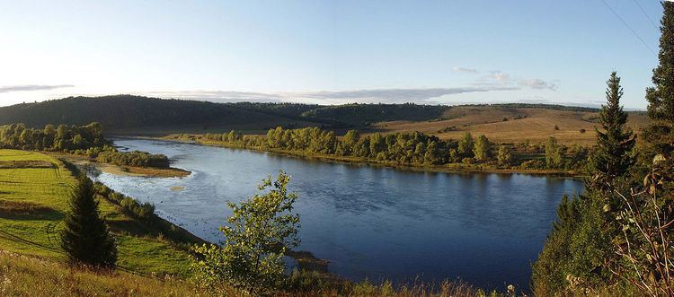
Ufa River (Russian: Уфа, Bashkir: Ҡариҙел, Qaridhel, Qaraidel, literally The Black Idel) is a river in the Urals, Chelyabinsk Oblast, Sverdlovsk Oblast, and the Republic of Bashkortostan; a tributary of the Belaya River. It is 918 kilometres (570 mi) long, and its basin covers 53,100 square kilometres (20,500 sq mi). It freezes up between late October and early December and stays under the ice until April or May. Pavlovka Hydroelectric Station is along the Ufa. The river's water is widely used for water supply. The main ports are Krasnoufimsk and Ufa (at the mouth of the river).
Map of Ufa River, Republic of Bashkortostan, Russia
References
Ufa River Wikipedia(Text) CC BY-SA