
Major roads N65 Local time Thursday 5:22 PM | Population 8,766 (2005) | |
 | ||
Weather 23°C, Wind S at 14 km/h, 40% Humidity | ||
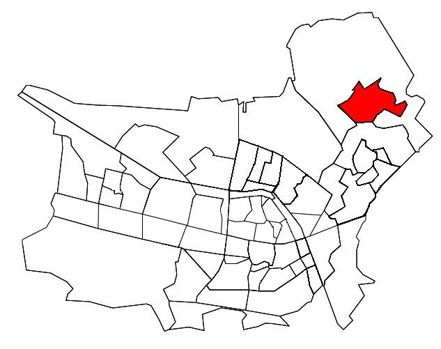
Udenhout is a village and a former municipality in the Dutch province of North Brabant. It is located northeast of Tilburg, north of Berkel-Enschot and south of the National Parc Loonse en Drunense Duinen.
Map of Udenhout, Netherlands
The municipality of Udenhout (including the village of Biezenmortel) was independent until 1997, when it became part of the municipality of Tilburg. Biezenmortel became part of the municipality of Haaren. Udenhout preferred to join the municipality of Loon op Zand, but was nevertheless assigned to Tilburg. The municipality consisted at the time of abolition in 1996 9,028 inhabitants and was 26.87 km².
During Carnaval Udenhout is called: "d'n Haozepot". In Udenhout you have a neighbourhood with streetnames as flowers. Like: "Margriet" and "Roos"(with means: Rose)