
Gmina Udanin ISO 3166 code PL Local time Thursday 4:36 PM | County Środa Śląska Population 982 Website www.udanin.pl | |
 | ||
Weather 13°C, Wind W at 13 km/h, 75% Humidity Voivodeship | ||
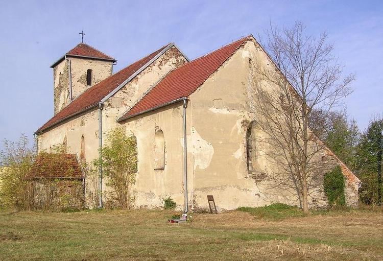
Udanin [uˈdanin] is a village in Środa Śląska County, Lower Silesian Voivodeship, in south-western Poland. It is the seat of the administrative district (gmina) called Gmina Udanin.
Map of Udanin, Poland
Prior to 1945 the village was in Germany and known as Gäbersdorf. After World War II the region was placed under Polish administration by the Potsdam Agreement under territorial changes demanded by the Soviet Union. Most Germans fled or were expelled and were replaced with Poles expelled from the Polish areas annexed by the Soviet Union.
It lies approximately 16 kilometres (10 mi) south-west of Środa Śląska, and 43 kilometres (27 mi) west of the regional capital Wrocław.
References
Udanin Wikipedia(Text) CC BY-SA