Time zone EET (UTC+2) | Elevation 29 m (95 ft) Local time Monday 4:44 PM | |
 | ||
Weather 21°C, Wind W at 11 km/h, 72% Humidity | ||
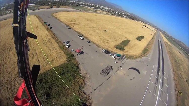
Tympaki (Greek: Τυμπάκι) is a town and a former municipality in the Heraklion regional unit, Crete, Greece. Since the 2011 local government reform it is part of the municipality Faistos, of which it is a municipal unit. The municipal unit has an area of 157.122 km2 (60.665 sq mi).
Map of Timpaki 702 00, Greece
It is located on the south coast, between Agia Galini and Matala, and has a population of 10,000. In 2005, a major container harbor and free trade zone had been rumored to be built in the area. As of January 2009, it appears the project has been canceled, in part due to the strong opposition from the local population.
References
Tympaki Wikipedia(Text) CC BY-SA
