
- elevation 973 ft (297 m) - location northwest of Elk Hills Basin area 63.2 km² Country United States of America | - length 4.6 mi (7 km) - elevation 862 ft (263 m) Mouth Kanawha River | |
 | ||
- right Left Fork Twomile Creek - location north-northwest of Elk Hills | ||
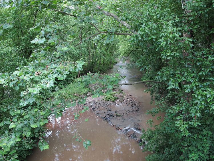
Twomile Creek is a tributary of the Kanawha River, 4.7 miles (7.6 km) long, in West Virginia in the United States. Via the Kanawha and Ohio rivers, it is part of the watershed of the Mississippi River, draining an area of 24.4 square miles (63 km2) on the unglaciated portion of the Allegheny Plateau, in the city of Charleston and its vicinity.
Map of Twomile Creek, West Virginia, USA
Twomile Creek is formed approximately 1.8 miles (2.9 km) east-northeast of the unincorporated community of Guthrie by the confluence of the Right Fork Twomile Creek, 4.6 miles (7.4 km) long, which rises approximately 3.3 miles (5.3 km) north-northwest of the unincorporated community of Elk Hills, and flows southwestward; and Edens Fork, 2.4 miles (3.9 km) long, which rises approximately 1.7 miles (2.7 km) northwest of Elk Hills and flows westward. From the confluence of these forks, Twomile Creek flows westward and southward, through Guthrie, to its mouth at the Kanawha River in the city of Charleston.
The creek is paralleled by county roads for much of its length. At Guthrie, it collects the Left Fork Twomile Creek, 4 miles (6.4 km) long, which rises approximately 1.9 miles (3.1 km) north-northwest of Guthrie and flows generally southward.