
County Pierce Elevation 790 m Population 59 (2010) | Area 10.8 km² Area code 360 | |
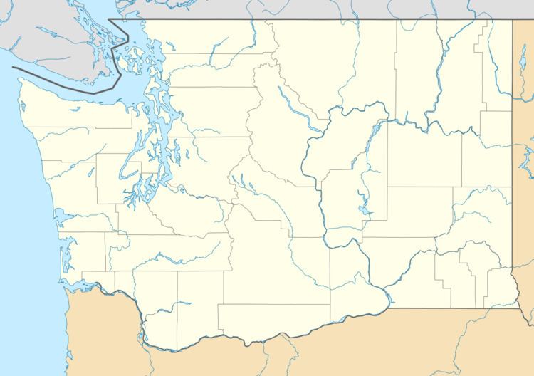 | ||
Twin Lakes is a census-designated place in Ferry County, Washington, United States.
Contents
Demographics
In 2010, it had a population of 59. 36 of the inhabitants were male, and 23 were female.
Geography
Twin Lakes is located in southeastern Ferry County at coordinates 48°15′44″N 118°21′32″W, on the east side of North and South Twin Lakes. The lakes' outlet is Cornstalk Creek, which leaves the north end of North Twin Lake and flows east to the Columbia River at Inchelium. Bridge Creek Road leads east 8 miles (13 km) from North Twin Lake to Inchelium and west across Gold Mountain Ridge 22 miles (35 km) to Washington State Route 21 in the Sanpoil River valley.
According to the U.S. Census Bureau, the Twin Lakes CDP has a total area of 4.2 square miles (10.8 km2), all of it land.