Country United States GNIS feature ID 0180384 Zip code 81251 | Time zone MST (UTC-7) Elevation 2,804 m Local time Monday 1:45 AM | |
 | ||
Weather -3°C, Wind NW at 10 km/h, 69% Humidity | ||
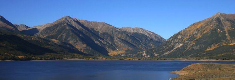
Twin Lakes is a census-designated place located in Lake County, Colorado, United States near the base of Mount Elbert. The population as of the 2010 Census was 171. Twin Lakes has the ZIP Code 81251.
Contents
Map of Twin Lakes, CO 81251, USA
Lake County, one of the original 17 counties created by the Colorado legislature in 1861, was named for Twin Lakes. As originally defined, Lake County included a large portion of western Colorado to the south and west of its present boundaries.
Geography
Twin Lakes is located at 39°04′58″N 106°22′52″W (39.082639,-106.381130), about 20 miles (32 kilometers) south of Leadville, on State Highway 82.
The altitude of Twin Lakes is approximately 9200 ft (2780 m) above sea level, somewhat lower than Leadville.
Demographics
As estimated in 2006, the following demographic data applied to ZIP code 81251, the best available approximation to the village of Twin Lakes (in Lake County):
There were 216 people and 98 households residing in ZIP code 81251. The racial makeup of the village was 73.6% White, 0.5% African American, 2.3% Native American, 21.3% from other races, and 2.3% from two or more races. Hispanic or Latino of any race were 35.6% of the population.
Males were 56.9% of the population, females 43.1%. The median annual income for a household in the village was $49,322.
