
 | ||
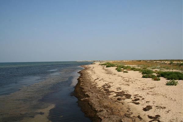
Tuzla (Russian: Тузлинская коса, Коса Тузла, Ukrainian: Коса Тузла) was a long narrow peninsula or sandy spit in the eastern part of the Strait of Kerch which extended from Cape Tuzla to the north-west in the direction of the city Kerch for almost 11 km. In 1925 the spit was cut by a storm, forming Tuzla Island. The open-water channel between Tuzla Island and the Russian mainland where the spit had previously existed reached over a km in width.
Tuzla Spit consisted of the Tuzla Island (45°16′07″N 36°32′58″E) and two small islands on the Russian side (45°13′33″N 36°35′34″E and 45°12′49″N 36°36′26″E), and a narrow sand bar connecting them all. The two small islands were re-connected to each other by the 2003 construction by Russia of the 4.1 km long Tuzla dam (45°14′39″N 36°35′31″E).
The Tuzla Spit formed the southern shore of the Taman Bay; the northern shore is the Chushka Spit.
The remnants of the Tuzla Spit are now being utilised in the building of the Kerch Strait Bridge.