
OS grid reference SU587712 Country England Post town Reading Local time Monday 4:03 AM District West Berkshire UK parliament constituency Berkshire | Region South East Sovereign state United Kingdom Postcode district RG7 Shire county Berkshire Civil parish Bradfield | |
 | ||
Weather 4°C, Wind NE at 10 km/h, 91% Humidity | ||
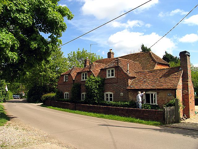
Tutts Clump is a small village in the civil parish of Bradfield (where the 2011 Census population was included) in the English county of Berkshire. (51° 26' 11" N, 1° 09' 25" W). It is 8 miles from the centre of Reading.
Map of Tutts Clump, Reading, UK
It lies about a mile south-east of Stanford Dingley, close to the neighbouring villages of Southend and Rotten Row. Legend has it that the name of the village is derived from that of an English Civil War general. It has a Methodist Chapel, but alas Tutts Clump has no pubs. The nearest are all about a mile away - the Queen's Head at Bradfield Southend or The Boot or the Bull; both in Stanford Dingley. The Post Office closed in 1983.
References
Tutts Clump Wikipedia(Text) CC BY-SA