
Ward 1 Elevation 1,180 m | Quadrant NW Established 1994 Population 19,307 (2013) | |
 | ||
Weather 7°C, Wind SE at 14 km/h, 33% Humidity Restaurants Great Canadian Pizza ‑ B, The Last Straw Ale House, Domino's Pizza, Yummy & Delicious, Butter Chicken Hut ‑ Wed | ||
Tuscany is a residential neighbourhood in the north-west quadrant of Calgary, Alberta. It is located at the western edge of the city, and is bounded to the north by Crowchild Trail, to the east by Stoney Trail, Bearspaw Dam Road to the south and Twelve Mile Coulee Road and the recently annexed community of Lynx Ridge and the rural acreages of Bearspaw to the west.
Contents
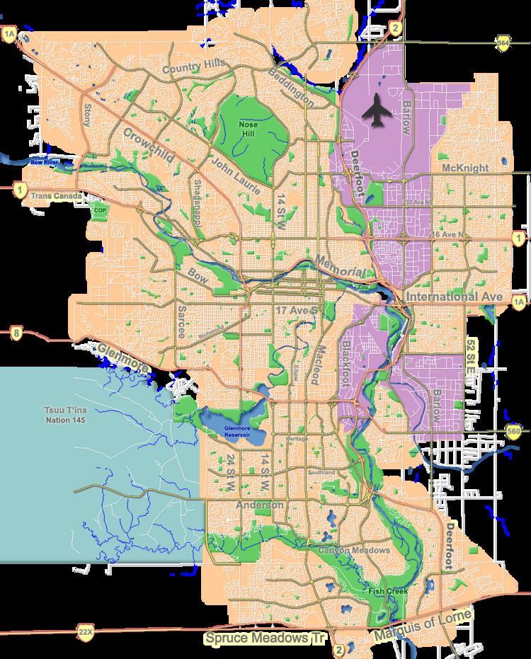
Map of Tuscany, Calgary, AB, Canada
Tuscany was established in 1994 and it was named for the region of Tuscany, Italy. It is represented in the Calgary City Council by the Ward 1 councillor.
Demographics
In the City of Calgary's 2013 municipal census, Tuscany had a population of 7004193070000000000♠19,307 living in 7003649700000000000♠6,497 dwellings, a 1.0% increase from its 2012 population of 7004188380000000000♠18,838. With a land area of 6.9 km2 (2.7 sq mi), it had a population density of 2,798/km2 (7,250/sq mi) in 2013.
Residents in this community had a median household income of $92,453 in 2005, and there were 7.1% low income residents living in the neighbourhood. As of 2006, 18.5% of the residents were immigrants. A proportion of 7.6% of the buildings were condominiums or apartments, and 2.7% of the housing was used for renting.
Education
This neighbourhood has one public elementary school, Tuscany Elementary School (K-4), as well as a public middle school, Twelve Mile Coulee School (4-9). There is also a Catholic school, St. Basil (K-9). Another school that recently opened was Eric Harvey School (K-5).