
 | ||
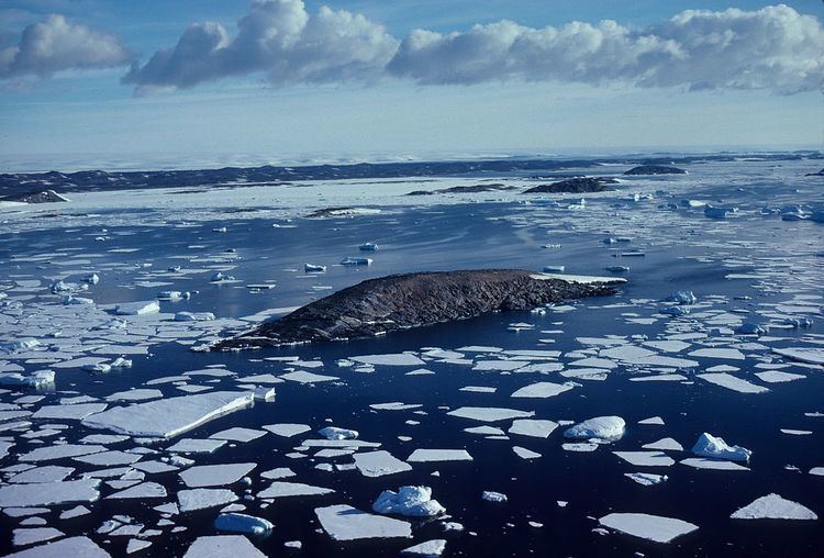
Turner Island (68°33′S 77°53′E) is an island lying 0.5 nautical miles (0.9 km) northwest of Bluff Island and 2.5 nautical miles (4.6 km) west of Breidnes Peninsula, Vestfold Hills, in Prydz Bay. Mapped by Norwegian cartographers from air photos taken by the Lars Christensen Expedition, 1936-37. Remapped by ANARE (Australian National Antarctic Research Expeditions) (1957–58) and named for P.B. Turner, radio officer at Davis Station in 1958.
References
Turner Island (Antarctica) Wikipedia(Text) CC BY-SA