
Time zone WAT (UTC+1) ISO 3166 code NG.OG.TT Local time Sunday 7:16 PM | 3-digit postal code prefix 852 Area 2,383 km² | |
 | ||
Weather 38°C, Wind NE at 6 km/h, 8% Humidity | ||
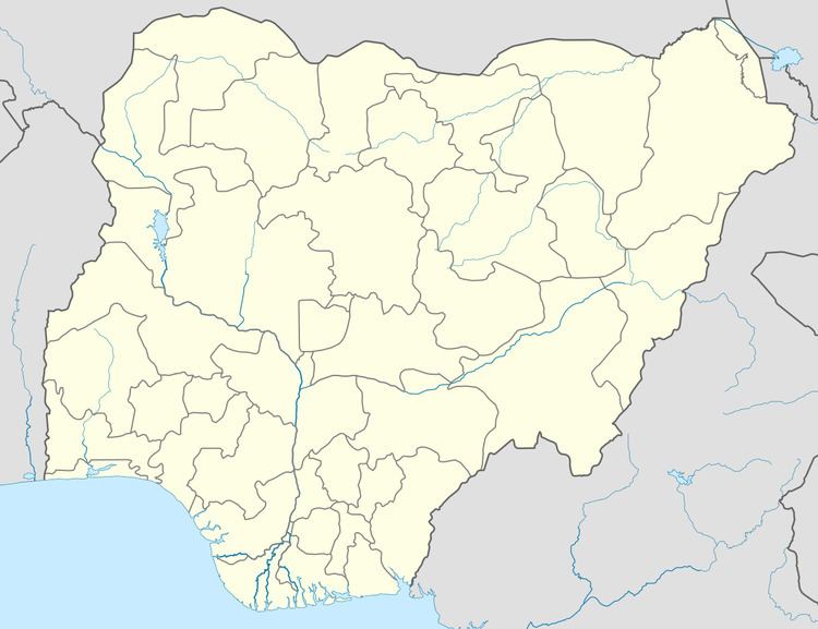
Tureta is a Local Government Area in Sokoto State, Nigeria. Its headquarters are in the town of Tureta. The LGA shares a border with Zamfara State in the south and east.
Map of Tureta, Nigeria
It has an area of 2,383 km² and a population of 68,370 at the 2006 census.
The postal code of the area is 852.
References
Tureta Wikipedia(Text) CC BY-SA