
Country Saudi Arabia Province Northern Borders Region Number of airports 1 | Population 91,713 (2015) Local time Sunday 6:14 PM | |
 | ||
Weather 21°C, Wind W at 11 km/h, 22% Humidity Neighborhoods Al Yarmuk, Sultanah, Al Urubah, Al Aziziyah | ||
Turaif (Arabic: طريف) is a town in Northern Borders Province (also known as Al-Hudud ash Shamaliyah), Saudi Arabia, close to the border with Jordan. Turaif is located at a bend in Highway 85 as it turns west to Jordan. It is located at around 31°40′39″N 38°39′11″E. As of 2010, it has a population of 48,929. The city of Turaif is one of the cities that have been established because of the presence of international oil pipeline.
Contents
Map of Turaif Saudi Arabia
Highway 85 bisects Turaif into "Old" Turaif to the north and "New" Turaif to the south. The largest hotel in Turaif is the Al-Mudwah Hotel and SWISS SPIRIT located along Highway 85 as it cuts through the town.
Turaif Domestic Airport is located approximately 5 kilometres (3 mi) from town and has a daily flight to Riyadh. Other nearby airports are Gurayat Domestic Airport in Gurayat (Qurayyat) and Arar Domestic Airport in Arar.
Climate
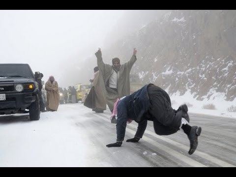
Turaif has desert climate with hot summers and cold winters (at least for Saudi Arabia's standards). Frost is not unheard of in the winter months. Snow may also fall at times. Turaif experienced the lowest recorded temperature in Saudi Arabia (and one of the lowest in the southern Middle East region), at -12C, beating Amman's -10C.