
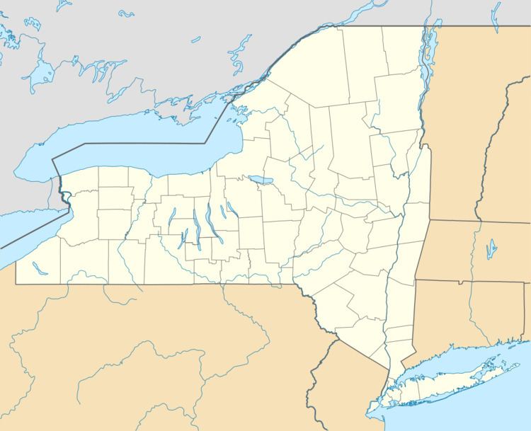
Country United States County Franklin FIPS code 36-033-75676 Elevation 517 m Zip code 12986 Area code 518 | State New York Time zone Eastern (EST) (UTC-5) GNIS feature ID 978671 Area 337 km² Population 5,971 (2010) | |
 | ||
Weather -1°C, Wind SE at 13 km/h, 40% Humidity | ||
Tupper Lake is a town in the southwest corner of Franklin County, New York, United States. The population was 5,971 at the 2010 census. The town contains a village called Tupper Lake. Until July 2004, the town was known as "Altamont", not to be confused with the village of Altamont in Albany County. And the 49th biggest town in New York.
Contents
History
In 1850 the Pomeroy Lumber Company began a logging operation in the area. A clearing left by clear-cutting the forest by Raquette Pond became the site of the village of Tupper Lake. In the 1890s, a large number of buildings were erected, but in 1899 a fire burned 169 of them to the ground. As the lumber business swelled, the village of Faust became a railroad hub, and so the village of Tupper Lake prospered.
In the 1940s the villages of Faust and Tupper Lake combined to become the village of Tupper Lake. The former village of Faust began where Main Street meets Demars Boulevard and continued west beyond the cemetery. The former village of Faust is now known as "The Junction", still called to this day by the people of Tupper Lake. It was so named due to the junction of railroad lines located in Faust. The only reference left to the town of Faust is the Faust Motel, located on Main Street. The Faust Roundhouse (one of the largest buildings in the area at the time) was located behind Web Row and near the railroad station. It burned to the ground in the 1940s.
The Oval Wood Dish Corporation mill was located in the area between the villages of Faust and Tupper Lake and was originally owned by the Sisson family of Potsdam, New York. The area encompassing the mill and the houses and apartments built across from the mill for the workers was called "Sissonville". Through neglect the buildings eventually went to ruin and were demolished. The large smokestack bearing the letters "OWD" in the center of town still stands as an icon of Tupper Lake's lumbering past.
The town of Altamont was organized in 1890 from the town of Waverly and was the last town organized in the county. In 1913, a part of St. Lawrence County was added to the town of Altamont.
In an effort to avoid confusion with other "Altamonts" around the state and to strengthen ties with the village of Tupper Lake, town councilors changed the town name from "Altamont" to "Tupper Lake" on July 16, 2004.
As of 2013 logging remained a business/industry in Tupper Lake but the winter season when the roads are frozen and can support heavy logging equipment has been growing shorter.
Geography
According to the United States Census Bureau, the town has a total area of 130.1 square miles (337.0 km2), of which 117.3 square miles (303.9 km2) is land and 12.7 square miles (33.0 km2), or 9.80%, is water.
The town is inside the Adirondack Park. The south town line is the border of Hamilton County, and the west town line is the border of St. Lawrence County.
Tupper Lake is a water body in the southwest part of the town, and crosses the county line into St. Lawrence County.
New York State Route 3 joins New York State Route 30 at Tupper Lake village; the highways are conjoined through the eastern part of the town.
The Raquette River, a northwest flowing tributary of the St. Lawrence River, flows past Tupper Lake village.
Demographics
As of the census of 2000, there were 6,137 people, 2,429 households, and 1,530 families residing in the town. The population density was 52.2 people per square mile (20.1/km²). There were 3,118 housing units at an average density of 26.5 per square mile (10.2/km²). The racial makeup of the town was 97.56% White, 1.27% African American, 0.29% Native American, 0.08% Asian , 0.08% from other races, and 0.72% from two or more races. Hispanic or Latino of any race were 0.57% of the population.
There were 2,429 households out of which 32.0% had children under the age of 18 living with them, 46.2% were married couples living together, 12.4% had a female householder with no husband present, and 37.0% were non-families. 30.6% of all households were made up of individuals and 14.7% had someone living alone who was 65 years of age or older. The average household size was 2.38 and the average family size was 2.97.
In the town, the population was spread out with 24.6% under the age of 18, 7.4% from 18 to 24, 29.3% from 25 to 44, 22.0% from 45 to 64, and 16.7% who were 65 years of age or older. The median age was 38 years. For every 100 females there were 101.7 males. For every 100 females age 18 and over, there were 95.9 males.
The median income for a household in the town was $35,636, and the median income for a family was $45,000. Males had a median income of $30,951 versus $25,938 for females. The per capita income for the town was $15,696. About 6.9% of families and 33.4% of the population were below the poverty line, including 11.8% of those under age 18 and 14.1% of those age 65 or over.