
Established 1912 State electorate(s) Wagin Founded 1912 | Postcode(s) 6321 Elevation 257 m Postal code 6321 | |
 | ||
Weather 11°C, Wind W at 5 km/h, 75% Humidity Lga Shire of Broomehill-Tambellup | ||
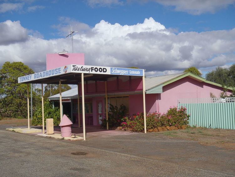
Tunney is a town located along the Albany Highway between Kojonup and Cranbrook, in the Great Southern region of Western Australia.
The district was first settled in the 1850s and by 1909 a new settler named J.A. Atcheson wrote to the government asking for assistance with establishing a school and other facilities and asking for a townsite to be declared. Following inspection some land near Slab Hut Gully was set aside for a townsite which was locally known as Paul Valley. Lots were surveyed in 1910, and the Aboriginal name of Tulungup (from Teulungup) was proposed only to be rejected by the Minister of Lands. The local residents then unanimously supported the name Tunney be used. The Minister of Lands then chose the name Nymbupp only to face stiff opposition from th locals and eventually Tunney was used. The townsite was gazetted in 1912.
The town was also known as Slab Hut.
The name Tunney comes from the oldest local resident in the area at the time, James Tunney, who owned lands around the area in the 1880s. He was the son of Sergeant John Tunney who was an enrolled Pensioner guard and had settled in the area in the 1860s.
An agricultural hall was opened in the town in 1913, by Mr A.E. Piesse, in front of a large Crowd including Mr Tunney. Tunney was presented with a set of pipes and his wife received a tea service from Piesse in recoginition of all their contributions to the community, including the use of their house for town meetings.