
Country India District Dhanbad PIN 828142 (Tundi), Elevation 219 m Area code 06540 | State Jharkhand Time zone IST (UTC+5:30) Telephone/STD code 06540 Population 102,022 (2011) | |
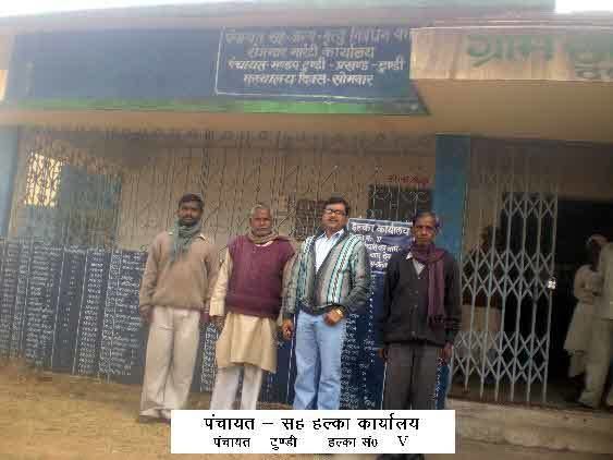 | ||
Tundi is a community development block that forms an administrative division in Dhanbad district, Jharkhand state, India.
Contents
Map of Tundi, Jharkhand 828105
Geography
Tundi is located at 23°59′2″N 86°27′6″E.
Tundi is located at the eastern end of the Pareshnath Hill with Barakar River flowing nearby.
Tundi CD Block has an area of 39,544.90 hectares (97,717.6 acres), out of which 26,536.99 hectares (65,574.3 acres) is forest area. It has 25 panchayats and 296 villages.
Demographics
As per 2011 Census of India, Tundi CD Block had a total population of 102,022, all of which were rural. There were 52,181 males and 49,841 females. Scheduled Castes numbered 10,907 and Scheduled Tribes numbered 41,502. Population below 6 years was 18,046
Literacy
As of 2011 census, the total number of literates in Tundi CD Block was 49,908 (59.43% of the population above 6 years) out of which 31,415 were males and 18,493 were females.
As of 2011 census, literacy in Dhanbad district was 74.52.Literacy in Jharkhand (for population over 7 years) was 66.41% in 2011. Literacy in India in 2011 was 74.04%.