
Time zone CST (UTC-6) Elevation 197 m Local time Sunday 6:45 AM | Established November 2, 1858 ZIP codes 61727, 61749 Area 96.94 km² Population 760 (2010) | |
 | ||
Weather 12°C, Wind S at 11 km/h, 94% Humidity | ||
Tunbridge Township is one of thirteen townships in DeWitt County, Illinois, USA. As of the 2010 census, its population was 760 and it contained 362 housing units.
Contents
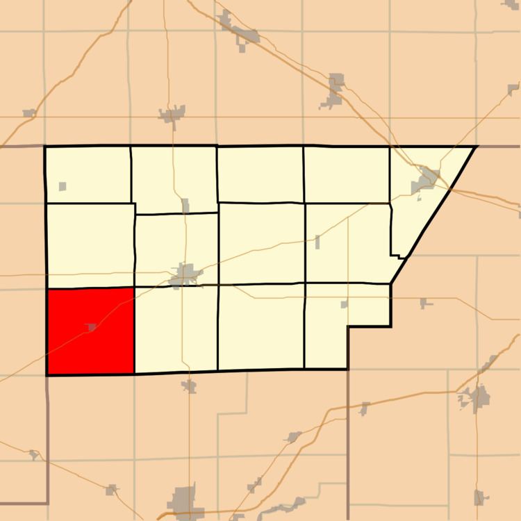
- Map of Tunbridge Township IL USA
- Geography
- Cities towns villages
- Unincorporated towns
- Cemeteries
- School districts
- Political districts
- References
Map of Tunbridge Township, IL, USA
Geography
According to the 2010 census, the township has a total area of 37.43 square miles (96.9 km2), of which 37.41 square miles (96.9 km2) (or 99.95%) is land and 0.02 square miles (0.052 km2) (or 0.05%) is water.
Cities, towns, villages
Unincorporated towns
(This list is based on USGS data and may include former settlements.)
Cemeteries
The township contains these five cemeteries: Hays, Old Baptist, Pleasant Valley, Randolph and Tunbridge.
School districts
Political districts
References
Tunbridge Township, DeWitt County, Illinois Wikipedia(Text) CC BY-SA