
- elevation 1,018 ft (310 m) Length 14 km Basin area 49.47 km² | - elevation 584 ft (178 m) Basin area 49.47 km² | |
 | ||
Source Central Oregon Coast Range | ||
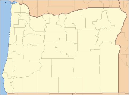
The Tumtum River is a 9-mile (14 km) tributary of the Marys River in Benton and Lincoln counties in the U.S. state of Oregon. The river rises in the Central Oregon Coast Range west of Burnt Woods and passes through the communities of Burnt Woods and Blodgett. It then drains into the Marys River north of Alder.
Map of Tumtum River, Oregon, USA
The name Tumtum is a Chinook Jargon word for "heart", and the river was so-named because it was considered to be the heart of the valley through which it flowed. When the Burnt Woods post office was to be named, one of the names proposed to the Post Office Department was Tumtum.
References
Tumtum River Wikipedia(Text) CC BY-SA