Population 4,977 (2011 census) Tumbi Umbi Bateau Bay Local time Sunday 9:50 PM | Postcode(s) 2261 Postal code 2261 Parish Tuggerah | |
 | ||
Weather 22°C, Wind NE at 8 km/h, 85% Humidity | ||
Tumbi Umbi is a mostly semi-rural suburb of the Central Coast region of New South Wales, Australia, located northwest of Bateau Bay. It is part of the Central Coast Council local government area.
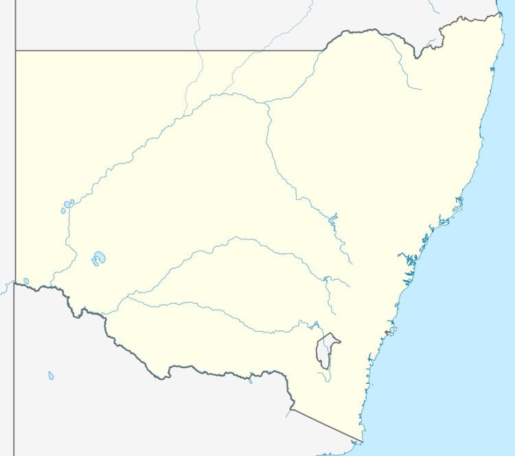
Map of Tumbi Umbi NSW 2261, Australia
It is a somewhat distributed community on the shores of Tuggerah Lake and associated with the creek that feeds into that body of water. In Aboriginal times the description "A place of much water" accurately described the swamp land that has now been extensively drained and populated with housing, industrial estates, a school, Mingara Recreation Club, Mingara One Fitness and Aquatic Centre, a pistol range and Glengara Retirement Village.
References
Tumbi Umbi, New South Wales Wikipedia(Text) CC BY-SA
