
- elevation 5,597 ft (1,706 m) - average 75 cu ft/s (2 m/s) | - elevation 3,245 ft (989 m) - max 250 cu ft/s (7 m/s) | |
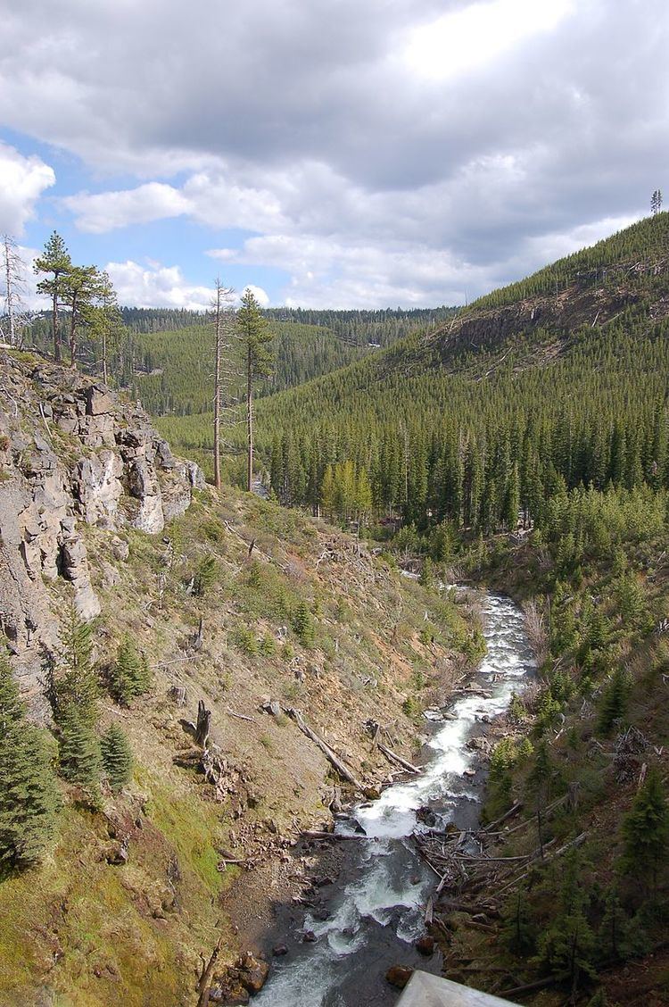 | ||
- location north of Bend, upstream of Tumalo State Park | ||
Tumalo Creek is a tributary, about 20 miles (32 km) long, of the Deschutes River, located in Deschutes County in Central Oregon, United States. It rises in the Cascade Range at 44.04706°N 121.598647°W / 44.04706; -121.598647 (Tumalo Creek source), where Middle Fork Tumalo Creek and North Fork Tumalo Creek meet, and forms several waterfalls, including the 97-foot (30 m) Tumalo Falls. Its mouth is on the Deschutes at 44.1159506°N 121.3394783°W / 44.1159506; -121.3394783.
It is home to several species of trout, including the Columbia River redband trout. It is the primary drinking water source for the city of Bend. The lower reaches of the creek are often emptied for irrigation, drained by a tunnel flume at 44.09589°N 121.35966°W / 44.09589; -121.35966 (Tumalo Creek tunnel flume) and Tumalo Canal at 44.09591°N 121.35970°W / 44.09591; -121.35970 (Tumalo Canal source).
The 1979 Bridge Creek Fire and related salvage logging increased erosion and damaged habitats in and near Tumalo Creek. Since 2003, a network of government agencies and volunteer groups have been working to restore fish and wildlife habitat along a 3-mile (5 km) stretch of the stream.