
OSI/OSNI grid L67272 Prominence 331 m Easiest route Hiking | Elevation 356 m Province Connacht Listing Marilyn | |
 | ||
Similar Diamond Hill, Letterbreckaun, Lackavrea, Binn Mhór, Barrslievenaroy | ||
Tully Mountain (Irish: Cnoc Leitreach) is a large hill north-west of Letterfrack in County Galway, Ireland.
Contents
- Map of Tully Mountain Derryinver Co Galway Ireland
- GeographyEdit
- NameEdit
- Access to the summitEdit
- ArchaeologyEdit
- ConservationEdit
- References
Map of Tully Mountain, Derryinver, Co. Galway, Ireland
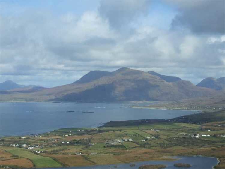
GeographyEdit
The 356-metre (1,168 ft) high hill is visually striking, as it stands in a prominent position on the Renvyle Peninsula between Ballinakill harbour (South), Inishbofin (West) and the Crump Island (north). The summit hosts a small cairn and offers a panoramic view of the Twelve Bens, the Mayo coastline, Inishboffin and other islands.
NameEdit
The Tully Mountain, as well as the Tully Lough, takes its name from Tully village, located on the north-eastern side of the mountain.
Access to the summitEdit
The walk which leads to the summit does not require any special hiking hability.
ArchaeologyEdit
The area around the Tully Mountain is rich in pre-historic remains like a court tomb and a stone alignement between the mountain itself and Tully Lough.
ConservationEdit
Tully Lough and the NE slopes of the mountain have been designated as a candidate Special Area of Conservation under the EU Habitats Directive.