
Population 1,204 (2011 census) Area 150 ha | Postcode(s) 2259 Postal code 2259 | |
 | ||
Parish Munmorah State Conservation Area | ||
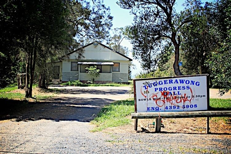
Tuggerawong is a lakeside suburb of Wyong on the NSW Central Coast and is located approximately 7 kilometres east of the Wyong CBD. It is approximately 90 km north of Sydney and 55 km south of Newcastle. Shopping, commercial facilities, schools and all normal community services are available in the district. In Wyong there is a rail connection and there is a connection to the F3 - Sydney to Newcastle freeway at Tuggerah.
Map of Tuggerawong NSW 2259, Australia
References
Tuggerawong, New South Wales Wikipedia(Text) CC BY-SA