
Elevation 260 m Population 520 (1 Jan 2012) | Postal code 683 01 Area 5.28 km² | |
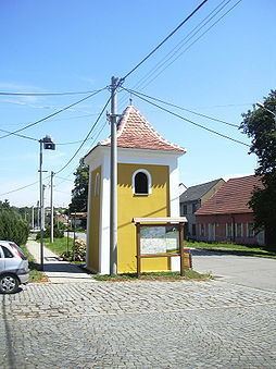 | ||
Tučapy is a village and municipality (obec) in Vyškov District in the South Moravian Region of the Czech Republic.
Map of 683 01 Tu%C4%8Dapy, Czechia
The municipality covers an area of 5.28 square kilometres (2.04 sq mi), and has a population of 494 (as at 3 July 2006).
Tučapy lies approximately 7 kilometres (4 mi) south-west of Vyškov, 23 km (14 mi) east of Brno, and 204 km (127 mi) south-east of Prague.
References
Tučapy (Vyškov District) Wikipedia(Text) CC BY-SA