
Status Operational Height 27 m Surface area 31 km² | Purpose Power, water supply Type of dam Buttress Opened 1956 | |
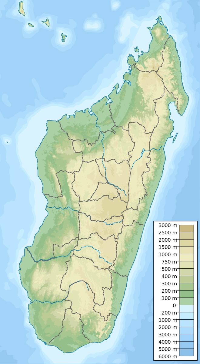 | ||
Location Tsiazompaniry, Analamanga Region Opening date 1956; 61 years ago (1956) People also search for Andekaleka Dam, Mantasoa Dam, Mandraka Dam, Sambirano River, Katse Dam | ||
The Tsiazompaniry Dam is a buttress dam on the Varahina-South River, a tributary of the Ikopa River, near Tsiazompaniry in the Analamanga Region of Madagascar. The dam was constructed by a French firm in 1956. It creates Lake Tsiazompaniry, the largest reservoir in the country, which has a surface area of 31 km2 (12 sq mi) and a storage volume of 260,000,000 m3 (210,000 acre·ft). A second buttress dam, 1 km (0.62 mi) northwest of the main dam helps withhold the reservoir. Water released from the dam supplies a regulated flow to hydroelectric power station at the Antelomita Dam downstream. Efforts to install a 5.25 MW power station at the base of the dam began in 2011.
Map of Tsiazompaniry Dam, Madagascar
References
Tsiazompaniry Dam Wikipedia(Text) CC BY-SA