
3-digit postal code prefix 703 Local time Sunday 1:01 AM | Time zone WAT (UTC+1) Area 492 km² | |
 | ||
Weather 27°C, Wind NE at 8 km/h, 19% Humidity | ||
Tsanyawa is a Local Government Area in Kano State, Nigeria. Its headquarters are in the town of Tsanyawa.
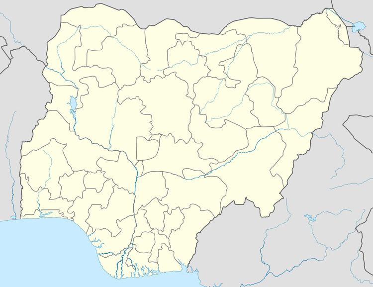
Map of Tsanyawa, Nigeria
It has an area of 492 km² and a population of 157,680 at the 2006 census.
The postal code of the area is 703.
References
Tsanyawa Wikipedia(Text) CC BY-SA