
Local time Saturday 11:17 PM | Population 1,246 (2013) | |
 | ||
Weather 6°C, Wind NW at 19 km/h, 63% Humidity | ||
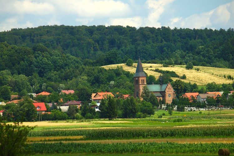
Trześniów [ˈtʂɛɕɲuf] is a village in the administrative district of Gmina Haczów, within Brzozów County, Subcarpathian Voivodeship, in south-eastern Poland. It lies in the valley of the Wisłok river, approximately 4 kilometres (2 mi) south-east of Haczów, 8 km (5 mi) south-west of Brzozów, and 44 km (27 mi) south of the regional capital Rzeszów. The village has a population of 1,300.
Contents
Map of Trze%C5%9Bni%C3%B3w, Poland
History
The village was founded probably in 1419 and settled around the end of the 14th century. In the second half of the 16th century the owners of the land the Błońscy changed the Catholic Church in Jasionów to a Calvin church. In 1592 another church for Catholics was built. In 1644 under the Lublin tribunal ruling the Protestants were forced to give the churches back to the Catholics. Until 1772 the village was Grabińscy-Tarłowie property, after 1772 it was Count Ignacy Cetner's. In 1880 the population of the village was 1,268 including 1,232 Poles.
Schools
There are two schools in Trzesniow. See http://www.zstrzesniow.republika.pl/strona/index.htm