
Country Ukraine District Husiatyn Raion Elevation 238 m (781 ft) Local time Saturday 10:50 PM | Province Ternopil Oblast Established 1562 Time zone EET (UTC+2) | |
 | ||
Weather 6°C, Wind W at 13 km/h, 72% Humidity | ||
Trybukhivtsi (Ukrainian: Трибухі́вці) is a village located on the right bank of the Zbruch River in the Husiatyn Raion (district) of the Ternopil Oblast (province in western Ukraine).
The population of the village is just about 833 people and local government is administered by Lychkovetska village council.
Contents
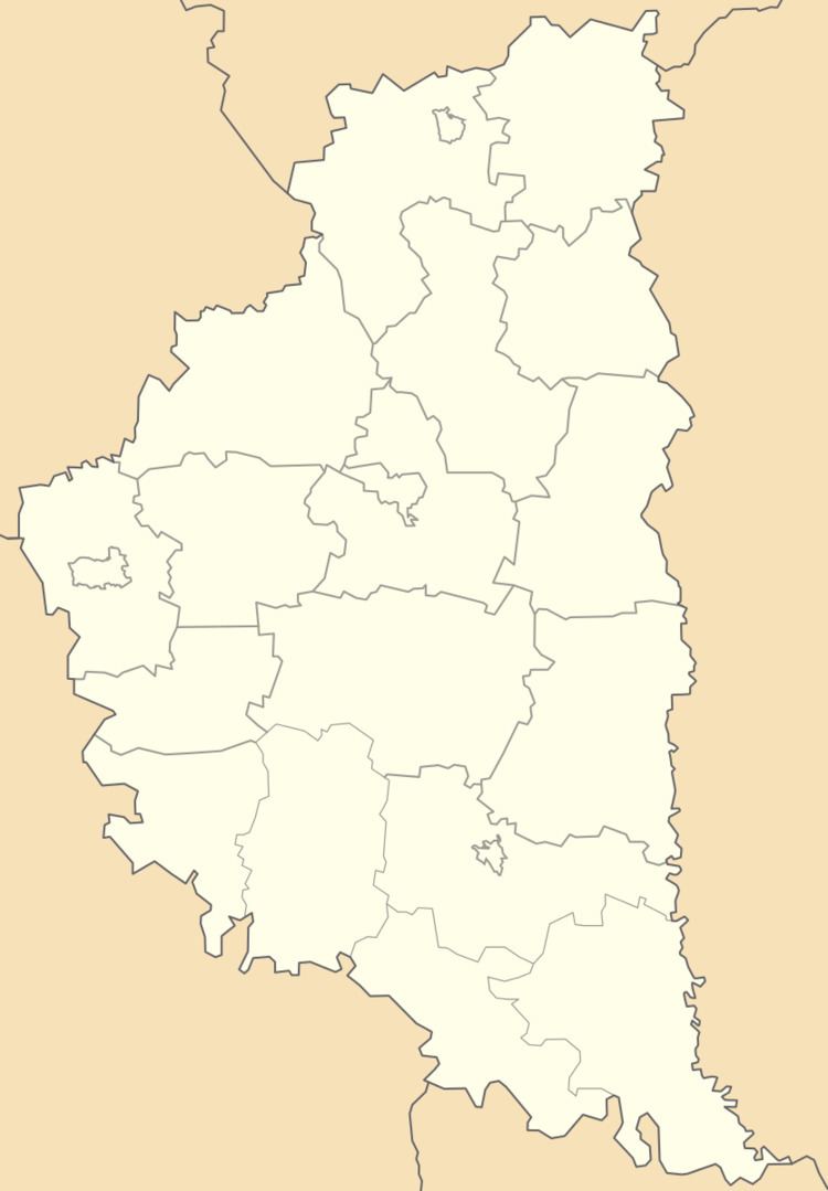
Map of Trybukhivtsi, Ternopil Oblast, Ukraine
Geography
The village is situated on a gentle left bank Zbruch River and closely adjacent to the village of Lychkivtsi. It is located at a distance of 9 kilometres (5.6 mi) from the district center of Husiatyn along the road Highway T2002 (Ukraine) from Husiatyn to Skalat. A distance to the regional center Ternopil is 71 kilometres (44 mi) and 39 kilometres (24 mi) to Skalat.
History and Attractions
The first written record about the villages Lychkivtsi and Trybukhivtsi dates from the 1562. Tripoli culture and Kievan Rus archaeological sites found near village.
The village has an architectural monument of local importance of Husiatyn Raion – Church of the Protection 1888 (N 1879).