
Area 141 ha Population 104 (2002) | Elevation 276 m Local time Saturday 5:05 PM Municipality Šentrupert | |
 | ||
Weather 16°C, Wind E at 10 km/h, 44% Humidity | ||
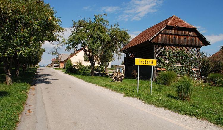
Trstenik ([təɾstɛˈniːk]) is a settlement in the Municipality of Šentrupert in southeastern Slovenia. It lies just northeast of Mirna in the historical region of Lower Carniola. The municipality is now included in the Southeast Slovenia Statistical Region. It includes the hamlets of Butara, Gorenji Konec (Slovene: Gorenji konec), Veliki Konec (Veliki konec), Kurja Dolina (Kurja dolina), Dolenji Konec (Doleji konec), Kot (German: Winkel), and Sotlo.
Map of Trstenik, Slovenia
References
Trstenik, Šentrupert Wikipedia(Text) CC BY-SA