
Elevation 615 m Local time Saturday 10:01 AM | Region Plzeň Postal code 338 43 Area 4.23 km² Population 91 (31 Dec 2008) | |
 | ||
Weather 7°C, Wind NE at 10 km/h, 60% Humidity | ||
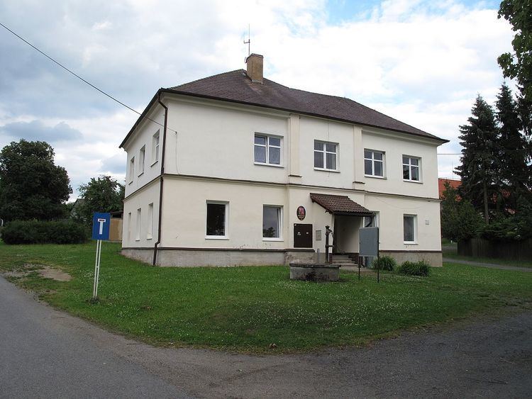
Trokavec is a village and municipality (obec) in Rokycany District, Plzeň Region, Czech Republic.
Map of 338 43 Trokavec, Czechia
The municipality covers an area of 4.23 square kilometres (1.63 sq mi), and has a population of 91 (as of 31 December 2008).
Trokavec lies in Brdy Mountains approximately 13 kilometres (8 mi) south-east of Rokycany, 26 km (16 mi) east of Plzeň, and 71 km (44 mi) south-west of Prague.
It is a locality where the American radar station of National Missile Defense was supposed to be built. Villagers from Trokavec overwhelmingly stood against the radar.
References
Trokavec Wikipedia(Text) CC BY-SA