
Country Slovakia District Dunajská Streda Elevation 122 m (400 ft) Area 7.971 km² Population 428 (2001) | Region Trnava First written mention 1275 Time zone EET (UTC+1) Local time Saturday 8:31 AM | |
 | ||
Weather 7°C, Wind N at 8 km/h, 71% Humidity | ||
Trnávka (Hungarian: Csallóköztárnok or Tárnok, [ˈtʃɒlːoːkøztaːrnok]) is a village and municipality in the Dunajská Streda District in the Trnava Region of south-west Slovakia.
Contents
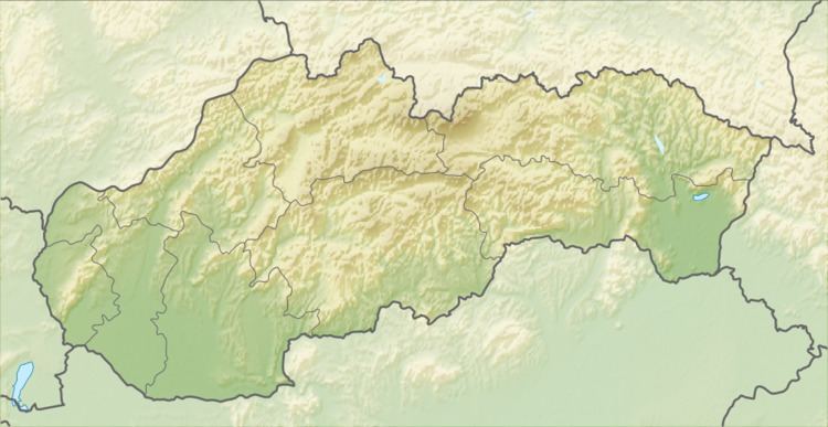
Map of 930 32 Trn%C3%A1vka, Slovakia
Geography
The municipality lies at an altitude of 122 metres and covers an area of 7.91 km².
History
In the 9th century, the territory of Trnávka became part of the Kingdom of Hungary. The village was first recorded in 1235. Until the end of World War I, it was part of Hungary and fell within the Somorja district of Pozsony County. After the Austro-Hungarian army disintegrated in November 1918, Czechoslovakian troops occupied the area. After the Treaty of Trianon of 1920, the village became officially part of Czechoslovakia. In November 1938, the First Vienna Award granted the area to Hungary and it was held by Hungary until 1945. After Soviet occupation in 1945, Czechoslovakian administration returned and the village became officially part of Czechoslovakia in 1947.
Demography
In 1910, the village had a population of 423, mostly Hungarians. According to the 2001 census, the recorded population of the village was 428. As of 2001, 81,31 per cent of its population was Hungarian while 16,82 per cent was Slovakian. Roman Catholicism is the majority religion of the village, its adherents numbering 82.01% of the total population.
Twinnings
The village is twinned with: