
Country United States FIPS code 19-78915 Elevation 314 m Zip code 50676 Local time Friday 10:52 PM | Time zone Central (CST) (UTC-6) GNIS feature ID 0462329 Area 3.65 km² Population 1,324 (2013) Area code 319 | |
 | ||
Weather 4°C, Wind NE at 31 km/h, 95% Humidity | ||
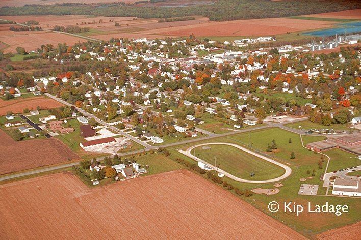
Tripoli (/trᵻˈpoʊlə/ tri-POH-lə) is a city in Bremer County, Iowa, United States. The population was 1,313 at the 2010 census. It is part of the Waterloo–Cedar Falls Metropolitan Statistical Area.
Contents
Map of Tripoli, IA 50676, USA
Geography
Tripoli is located at 42°48′21″N 92°15′27″W (42.805736, -92.257580).
According to the United States Census Bureau, the city has a total area of 1.41 square miles (3.65 km2), all of it land.
2010 census
As of the census of 2010, there were 1,313 people, 540 households, and 356 families residing in the city. The population density was 931.2 inhabitants per square mile (359.5/km2). There were 568 housing units at an average density of 402.8 per square mile (155.5/km2). The racial makeup of the city was 98.2% White, 0.2% African American, 0.3% Asian, 0.5% from other races, and 0.8% from two or more races. Hispanic or Latino of any race were 1.1% of the population.
There were 540 households of which 33.3% had children under the age of 18 living with them, 51.1% were married couples living together, 10.7% had a female householder with no husband present, 4.1% had a male householder with no wife present, and 34.1% were non-families. 31.3% of all households were made up of individuals and 14.4% had someone living alone who was 65 years of age or older. The average household size was 2.37 and the average family size was 2.95.
The median age in the city was 40.5 years. 26% of residents were under the age of 18; 6.8% were between the ages of 18 and 24; 22.8% were from 25 to 44; 25.1% were from 45 to 64; and 19.3% were 65 years of age or older. The gender makeup of the city was 47.0% male and 53.0% female.
2000 census
As of the census of 2000, there were 1,310 people, 537 households, and 361 families residing in the city. The population density was 934.7 people per square mile (361.3/km²). There were 561 housing units at an average density of 400.3 per square mile (154.7/km²). The racial makeup of the city was 98.78% White, 0.15% African American, 0.08% Native American, 0.08% Asian, 0.08% from other races, and 0.84% from two or more races. Hispanic or Latino of any race were 0.23% of the population.
There were 537 households out of which 31.5% had children under the age of 18 living with them, 53.6% were married couples living together, 8.6% had a female householder with no husband present, and 32.6% were non-families. 30.5% of all households were made up of individuals and 17.1% had someone living alone who was 65 years of age or older. The average household size was 2.38 and the average family size was 2.96.
27.1% were under the age of 18, 6.5% from 18 to 24, 25.6% from 25 to 44, 20.5% from 45 to 64, and 20.3% were 65 years of age or older. The median age was 39 years. For every 100 females there were 90.7 males. For every 100 females age 18 and over, there were 84.0 males.
The median income for a household in the city was $34,444, and the median income for a family was $42,647. Males had a median income of $30,764 versus $22,353 for females. The per capita income for the city was $16,882. About 7.3% of families and 9.6% of the population were below the poverty line, including 13.6% of those under age 18 and 13.2% of those age 65 or over.