
Built 1890 (1890) Opened 1890 | Area 114 ha | |
 | ||
Location Roughly bounded by Green, Duke, Morgan, and W. Main Sts., Markham Ave., and Clarendon St.; also roughly bounded by the original Trinity Historic District, N. Buchanan Boulevard, W. Club Boulevard, Woodland Dr., and N. Duke St.; also 209-215 N. Gregson St., Durham, North Carolina NRHP Reference # 86000672, 04000568, 07001372 Added to NRHP March 26, 1986, June 4, 2004 (Boundary Increase), January 9, 2008 (Boundary Increase) Similar Duke Homestead and Toba, Bennett Place, Eno River State Park, Falls Lake State Recreatio, Durham Central Park | ||
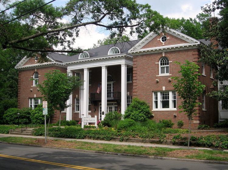
Trinity Historic District, also called Trinity Park is a national historic district and residential neighborhood located near the East Campus of Duke University in Durham, North Carolina. The district encompasses 751 contributing buildings in a predominantly residential section of Durham. They were built between the 1890s and 1960 and include notable examples of Queen Anne and Bungalow / American Craftsman style architecture. Located in the district are the separately listed "Faculty Row" cottage: the Bassett House, Cranford-Wannamaker House, Crowell House, and Pegram House. Other notable buildings include the George W. Watts School (1917), Julian S. Carr Junior High School (1922), Durham High School (1923), Durham Alliance Church (1927), Trinity Presbyterian Church (1925), Great A & P Tea Company (1927-1929), Grace Lutheran Church (c. 1950), and the former Greek Orthodox Community Church (c. 1950).
It was listed on the National Register of Historic Places in 1986, with a boundary increases in 2004 and 2008.